Last updated: Sunday 25 October 2026, 9:30 pm Nepal time. We will update this page as forecasts change.
Late October is normally the most reliable trekking weather of the year in Nepal. This week is the exception. A low-pressure system in the Bay of Bengal is strengthening into what is expected to become Cyclone Arnab, and its moisture is forecast to reach Nepal from Wednesday.
Enjoy Monday and Tuesday, which should stay sunny. Clouds build from Wednesday afternoon (28 Oct), followed by rain in the hills and snow in the mountains until Saturday (31 Oct). The heaviest spell looks likely from Thursday night to Friday night. Expect 100–200 mm of rain in many hill areas and 0.25–1.5 m of snow at high elevations, heaviest around Dhaulagiri, Annapurna and Manaslu. Pause high treks and pass crossings for those four days. Weather is expected to improve from Sunday (1 Nov).
We are a trekking team based in Parbat District, between Pokhara and the Dhaulagiri–Annapurna mountains, and our own guides are on these trails every week. This update brings together what the satellites and forecast models are showing, what Nepal's Department of Hydrology and Meteorology and India's weather service have announced, and what it means in practice if you are trekking or about to start.
ForecastDay-by-day outlook for Nepal
Nepali dates are included because local lodges, guides and news reports will refer to them. Timing can shift by half a day or so as the cyclone's track becomes clearer.
- Mon 26 OctKartik 9Clear
Sunny and settled across most of the country. Good trekking and viewing weather. - Tue 27 OctKartik 10Clear
Still largely sunny. Use this day to reach a safe, lower overnight stop if you are high on a trek. - Wed 28 OctKartik 11Clouds building
A fine morning likely, then clouds forming from the afternoon. Light rain may begin in places by evening. - Thu 29 OctKartik 12Rain and snow
Rain spreading across the hills and snow in the high mountains, becoming heavy from Thursday night. - Fri 30 OctKartik 13Heaviest spell
Likely the worst day. Heavy rain in the hills, heavy snow above roughly 4,000 m, poor visibility and landslide risk on roads. - Sat 31 OctKartik 14Easing
Rain and snow gradually easing, but trails, passes and roads will still be wet, snow-covered or blocked in places. - Sun 1 NovKartik 15Improving
Weather expected to improve. Clear skies return, but high passes may need more time before they are safe.
The causeWhat is happening in the Bay of Bengal?
On Saturday morning, satellite images and forecast models showed the low-pressure system in the Bay of Bengal extending up to about 5.8 km above sea level. Sea surface temperatures beneath it were around 29°C and vertical wind shear was low, both of which favour a storm getting stronger.

India's weather services now expect the system to become a cyclone by Monday morning and a severe cyclone by Tuesday. Once it reaches cyclone strength it will take the name Arnab, a Bengali word for the ocean. Current forecasts have it moving west-northwest towards the coast of northern Andhra Pradesh and southern Odisha, with landfall expected around Wednesday.
From there, the remains of the storm push a large amount of moisture north towards the Himalaya. At the same time, a westerly trough in the upper atmosphere is forecast to support the rainfall, and Nepal's steep terrain squeezes extra rain and snow out of the air as it rises.
Why the exact track matters
Where the cyclone comes ashore changes how hard Nepal is hit. If it tracks further west into Andhra Pradesh, the effect on Nepal should be moderate. If it turns further north towards Odisha or beyond, Nepal can expect more rain and snow. The final strength, landfall point and track will only become clear over the next two or three days, but one thing is consistent across the models: rain across the whole country from Kartik 11 to 15, and heavier totals if the system becomes a full cyclone.
ImpactHow much rain and snow to expect
Rain in the hills and lowlands
Many hill areas could receive around 100–200 mm of rain over the four days. Nepal's Department of Hydrology and Meteorology expects moderate rain across Koshi, Madhesh, Bagmati, Gandaki and Lumbini provinces, with heavy rain in a few places in Koshi, Bagmati and Gandaki. Meteorologist Binod Pokharel has identified 29 districts at higher risk, mostly in Lumbini, Gandaki, Bagmati and Koshi, with parts of Bagmati possibly topping 150 mm. Karnali and Sudurpaschim in the far west are expected to see less.
For trekkers, rain on this scale means swollen streams, slippery stone steps, leeches returning to lower forests, and a real risk of landslides on mountain roads.
Snow in the high Himalaya
Above roughly 4,000 m, the same moisture falls as snow. Snowfall of 0.25 to 1.5 metres is possible in the high mountains, and the heaviest falls look most likely around the Dhaulagiri, Annapurna and Manaslu ranges. Heavy snow is also possible in parts of Koshi and Bagmati, and lighter snow in the mountains of the far west.
Lower ridges are not entirely out of reach. On the highest points in the 3,000–3,300 m range, including Poon Hill and Kokhe Danda, sleet or a light covering of snow is possible during the coldest part of the storm. Temperatures across the country are expected to drop, so nights will feel noticeably colder for the rest of the week.
Why we take this seriously: almost exactly a year ago, the remnants of Cyclone Montha brought heavy snow to Nepal's mountains and contributed to a deadly early-November snowstorm on two Himalayan peaks. Autumn cyclones are rare, but when they reach the Himalaya, deep fresh snow and avalanches are the main danger.
Your trekWhat it means for each type of trek
The risk depends mostly on how high you are going and whether your route crosses a pass or an avalanche-prone valley. Here is how we are thinking about our own groups and the main routes around us.
High passes and high-altitude circuits
Pause 28–31 OctAnnapurna Circuit over Thorong La (5,416 m), Manaslu Circuit over Larkya La (5,106 m), the Dhaulagiri Circuit over French Pass, Tilicho Lake, Mesokanto La and Khayer Lake (4,653 m) on the Khopra route.
These are the routes in the heaviest snow zone. Do not plan any crossing from Wednesday to Saturday. After the storm, passes can stay closed or unsafe for several days while snow settles and a trail is broken. Wait for local confirmation before going up.
Annapurna Base Camp and Mardi Himal
Pause high sectionsThe stretch of the ABC trail between Deurali and Machhapuchhre Base Camp runs through a narrow valley that is exposed to avalanches after heavy snow. The upper camps on Mardi Himal are similarly exposed to wind and snow.
Stay at Chhomrong, Sinuwa or Bamboo on ABC, or below Forest Camp on Mardi Himal, until the storm has passed and lodge owners confirm the trail is safe.
Mid-altitude ridge treks
Reschedule walking daysPoon Hill, Khopra Ridge (3,667 m), the Muldai Viewpoint trek and the Kokhe Danda Trek (3,309 m).
These routes stay mostly below the deep snow line, so the danger is lower. But four days of heavy rain, cloud and possible sleet on the ridges mean wet, slippery trails, no mountain views and cold nights. Sunrise viewpoints will almost certainly be clouded in. We are moving our own departures in this window to start from 1 November.
Lower hills and village walks
Possible with careShort walks around Pokhara, Parbat's villages and homestays at lower elevations.
Fine on lighter days, but avoid river crossings, steep slopes above roads and long drives on mountain roads during the heaviest rain on Thursday and Friday.
Already trekkingIf you are on the trail right now
The good news is that you have two clear days to prepare. Use Monday and Tuesday well.
- Be somewhere safe by Wednesday evening: a well-established teahouse village at a sensible altitude, away from avalanche paths and river banks. Do not start a pass crossing, glacier section or high camp on Wednesday or later.
- Plan to wait, not push: build in two or three spare days. A rest day in a warm dining room is far better than a crossing in a storm.
- Listen to locals: teahouse owners, guides and local authorities know which slopes slide and which bridges flood. If they say wait, wait.
- Stay in contact: tell your family, agency or insurer where you are and what your plan is. Charge phones and power banks while electricity is available.
- Keep warm and dry: carry a waterproof jacket, warm layers, dry socks and a cover for your pack. Temperatures will drop.
- Check insurance: make sure your policy covers helicopter rescue at the altitude you are at, and keep the emergency number handy. Note that rescue flights are often impossible during the storm itself.
Arriving soonIf your trek starts this week
If you land in Kathmandu or Pokhara around now, the simplest plan is to shift your walking days to start on Sunday 1 November or later. Spend the rainy days in Pokhara or Kathmandu, or on a short cultural visit at low altitude.
If your trip is short and fixed, a two-day window on Monday and Tuesday can still work for a very short low-level walk, but do not start anything that would put you high in the mountains from Wednesday onwards.
Lodges along the popular routes will also be juggling cancellations and stranded trekkers this week, so it helps to call ahead once you have new dates. Our guide on booking teahouses in advance in Nepal explains how.
Rebooking a trek around the storm?
Tell us your dates and we will suggest a route and start day that avoids the worst of the weather. Our short treks from Pokhara can begin as soon as conditions clear.
Talk to our team →Getting aroundRoads and flights
Long-distance travel by road should be avoided from Wednesday to Saturday where possible. Extra care is needed on the Prithvi Highway between Kathmandu and Pokhara and on the BP Highway, where heavy rain can bring down landslides. Mountain roads to trailheads, including Beni to Jomsom, Besisahar to Manang and the roads towards Banthati, Nayapul and Kokhe Danda's starting points, may be blocked for some time.
Mountain flights such as Pokhara to Jomsom and Kathmandu to Lukla depend on clear visibility and are likely to be delayed or cancelled during the storm. Expect a backlog when flying resumes, so keep a buffer of at least one or two days before any international flight home.
The upsideAfter the storm: what to expect
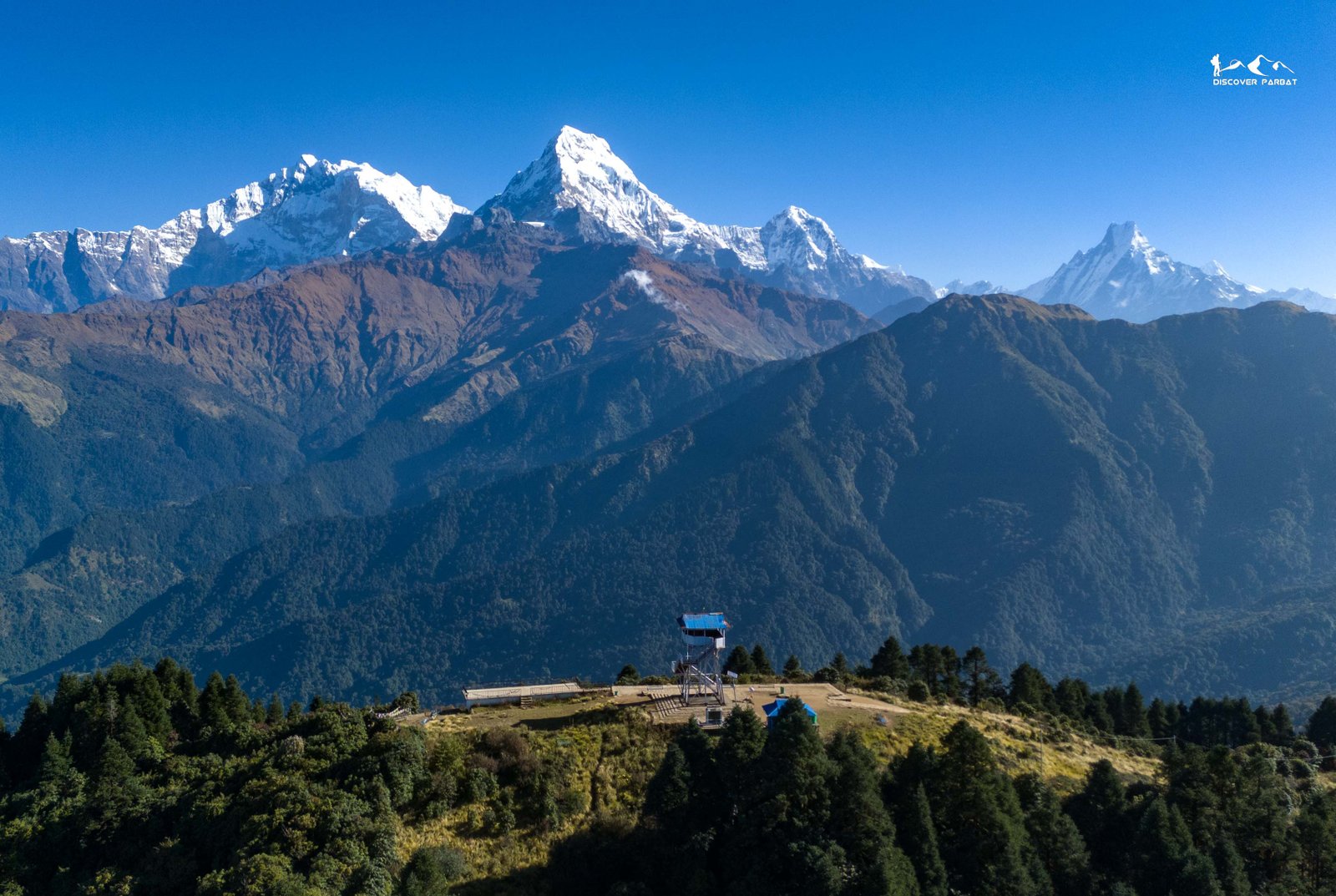
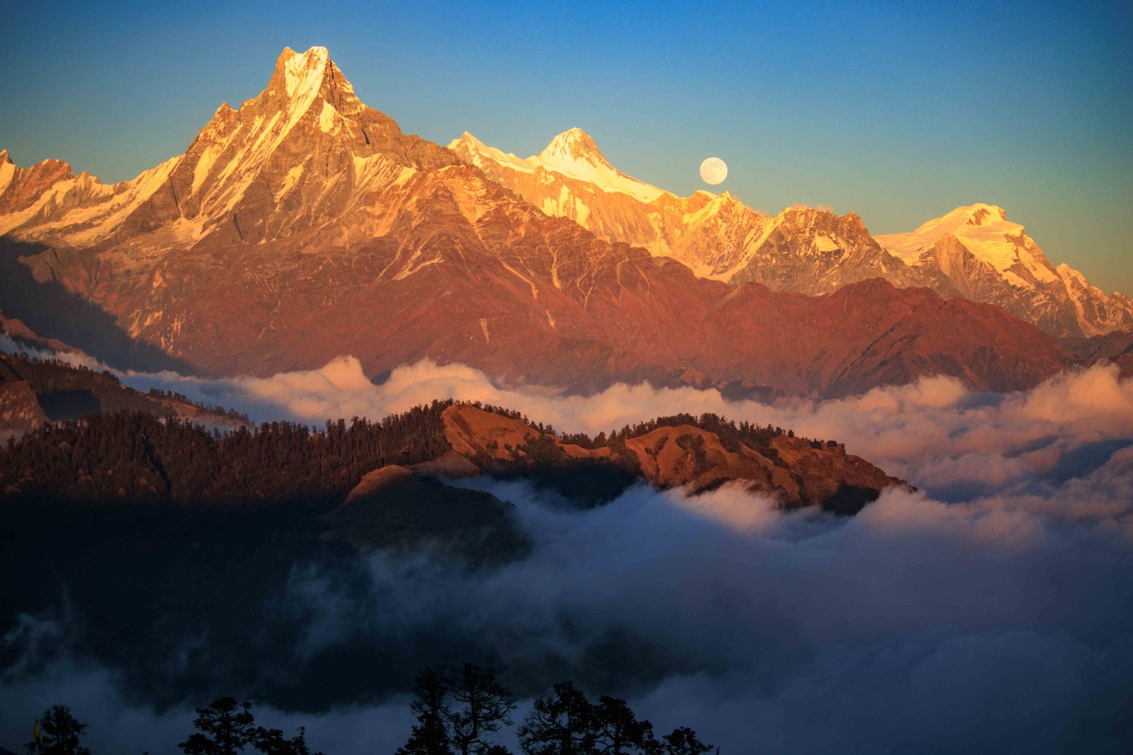
Current models show the weather improving from Sunday 1 November. In autumn, the days after a big storm are often the clearest of the season. The air is washed clean of dust and haze, and freshly snow-covered peaks look spectacular from viewpoints like Poon Hill, Khopra Ridge and Kokhe Danda.
That makes early November a very good time for ridge treks with views. For high passes, though, give it time. Deep fresh snow brings avalanche risk and makes route-finding hard until it settles and a track is broken, and some routes may stay closed for a few days. Ask locally before you go high, and do not be the first group to test a pass after heavy snowfall.
Forecasts for tropical cyclones change as they develop. Treat this as a planning guide rather than a guarantee, and check the latest bulletins from Nepal's Meteorological Forecasting Division before you set off each day. We will update this page as the picture becomes clearer.
FAQFrequently asked questions
When will Cyclone Arnab affect Nepal?
Clouds are expected to build from Wednesday afternoon, 28 October 2026 (Kartik 11), with rain and high-altitude snow continuing until Saturday, 31 October (Kartik 14). The heaviest spell is likely between Thursday night and Friday night. Conditions are expected to improve from Sunday, 1 November.
How much rain and snow is expected in Nepal?
Many hill areas could receive 100–200 mm of rain over the four days. In the high Himalaya, snowfall of roughly 0.25 to 1.5 metres is possible, with the higher amounts most likely around the Dhaulagiri, Annapurna and Manaslu ranges.
Is it safe to trek in Nepal during Cyclone Arnab?
High-altitude treks and pass crossings should be paused between 28 October and 31 October 2026. Lower and mid-altitude routes are less exposed to snow but can still be affected by heavy rain, landslides and road disruption, so walking days in that window are best rescheduled.
Should I cross Thorong La or Larkya La this week?
No crossing should be planned from Wednesday to Saturday. After the storm, wait for local confirmation that the trail has been opened and the snow has settled, because fresh deep snow brings avalanche and route-finding risks for several days.
What should I do if I am already on a high trek?
Plan to be at a safe, lower teahouse village by Wednesday evening and stay put until the weather clears. Do not start a pass crossing, glacier section or avalanche-prone stretch during the storm. Keep your guide, teahouse owner and family informed of your plans.
When will the weather clear after Cyclone Arnab?
Current models suggest improving weather from Sunday, 1 November 2026. Post-storm days in autumn often bring very clear mountain views, but high passes may need extra days before they are safe to cross.
Will Poon Hill and Kokhe Danda get snow?
The highest ridges in the 3,000–3,300 m range, including Poon Hill and Kokhe Danda, could see sleet or a light covering of snow during the coldest part of the storm. The main concern on these routes is heavy rain, slippery stone steps and cold rather than deep snow.
Sources: Nepal's Department of Hydrology and Meteorology weekly outlook (23 October 2026); India Meteorological Department and Regional Meteorological Centre Kolkata updates (25 October 2026); forecast by meteorologist Binod Pokharel reported by Republica; INSAT-3DR satellite imagery; Discover Parbat's own analysis of satellite images and forecast models.